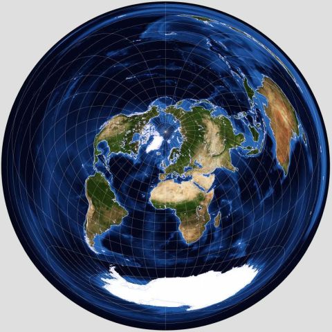
Although this projection is a nice compromise between conformal and equal-area projections, its main claim to fame comes from another property it has, which allows maps like this to be drawn:
Since the azimuthal equidistant projection shows every point on the globe at its correct distance, and in its correct direction, from the center of the projection, maps in this projection centered on one's own location, like the map above, centered on Edmonton, Alberta, are very useful to people engaged in long-distance radio communications.
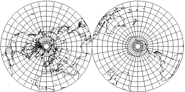
This map, showing the northern and southern hemispheres, illustrates the simple plan underlying this projection:
As this map, centered at 40 degrees north latitude, and 20 degrees west longitude, shows,
the azimuthal equidistant projection can indeed be used to make reasonable maps of extended areas of the world.
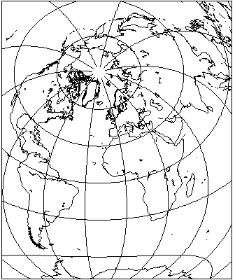
This is also illustrated by a map centered at 0 degrees longitude and 52.5 degrees north latitude, close to London, England:
This map was produced by a program from NASA, G.Projector.
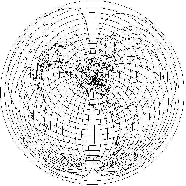
The simplest case, its polar aspect, was also used for maps of the whole world in a single circle, like this:
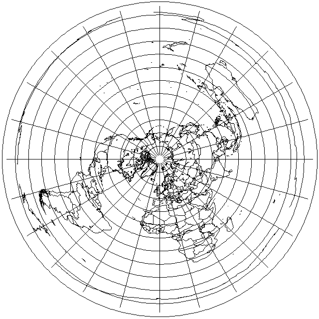
Many atlases included a map of the world like this. An important reason why they did so was to counteract a percieved deficiency of conventional world maps, such as those based on the Mercator projection: that they split the world into "East" and "West", when, in fact, on the globe one can go around the world in either of those directions.
Thus, when airplanes and ships travel across the Pacific as well as across the Atlantic, a new perspective is needed to see the world globally, which this type of map is aimed at providing.